Watch Out for Bad Hurricanes This Year Due to Warmer Seas: Kiplinger Economic Forecasts
It only takes one bad storm to wreak havoc on the hurricane season.
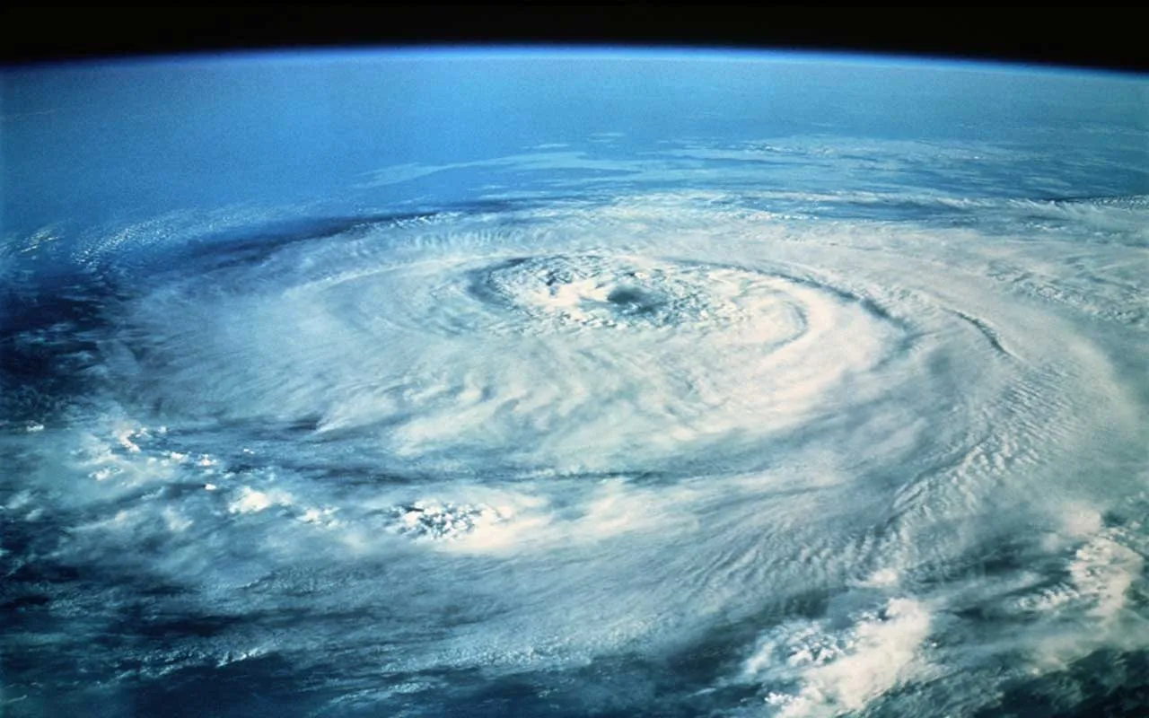
Summer is peak hurricane season, and it's never the same from one year to the next. To help you understand what is going on and what we expect to happen in the future, our highly-experienced Kiplinger Letter team will keep you abreast of the latest developments and forecasts (Get a free issue of The Kiplinger Letter or subscribe). You'll get all the latest news first by subscribing, but we will publish many (but not all) of the forecasts a few days afterward online. Here’s the latest...
Meteorologists are calling for a close-to-average hurricane season. But it’s an unusually tricky forecast, they say. The weather pattern known as El Niño, when sea surface temperatures in the eastern Pacific Ocean rise above normal, is likely to arrive soon. In general, El Niño has a tendency to suppress hurricane formation in the Atlantic due to certain atmospheric effects.
But this year, sea surface temperatures in the Atlantic, the Gulf of Mexico and the Caribbean Sea are well above normal. And warm water serves as fuel, potentially allowing any hurricanes that do form to develop faster and stronger. So, figure on a normal number of storms, but watch out for bad ones. Conditions may be especially ripe for powerful hurricanes to form. And remember, it takes only one severe hurricane hitting the wrong spot to make for a bad season.
From just $107.88 $24.99 for Kiplinger Personal Finance
Become a smarter, better informed investor. Subscribe from just $107.88 $24.99, plus get up to 4 Special Issues

Sign up for Kiplinger’s Free Newsletters
Profit and prosper with the best of expert advice on investing, taxes, retirement, personal finance and more - straight to your e-mail.
Profit and prosper with the best of expert advice - straight to your e-mail.
Some good news on the hurricane forecast front: New radar could help by providing meteorologists with more detail on how storms are forming. A grant from the federal government’s National Science Foundation (NSF). will develop the system in partnership with the University Corporation for Atmospheric Research. Eventually, researchers hope that more-accurate radar than what is now used to monitor storms will lead to better forecasts, giving people and businesses in harm’s way more warning.
This forecast first appeared in The Kiplinger Letter, which has been running since 1923 and is a collection of concise weekly forecasts on business and economic trends, as well as what to expect from Washington, to help you understand what’s coming up to make the most of your investments and your money. Subscribe to The Kiplinger Letter.
Read more
